
Free GSSI GPR Datasets
Real-world data acquired with GSSI Ground Penetrating Radar systems — FLEX NX, NX25, NX15 and more
Download real-world GSSI Ground Penetrating Radar data acquired with FLEX NX, NX25, NX15 and other GSSI systems. GSSI (Geophysical Survey Systems, Inc.) is the world's leading manufacturer of Ground Penetrating Radar equipment, and its native DZT format is the de facto standard for GPR data exchange.
GPRbase is published by MDS (Le Matériel de Sondage), the exclusive GSSI partner for the French market for 35 years. This long-standing partnership means the datasets you find here were acquired by operators who know GSSI equipment inside out — with correctly configured systems, appropriate antenna selection, and documented acquisition parameters. Every dataset specifies the exact GSSI antenna and frequency used.
Whether you own GSSI equipment and want comparison data, evaluate GSSI systems before purchase, develop DZT-compatible software, or build training material for GSSI operators, these authentic datasets give you real field data from the world's most widely deployed GPR platform. All data is free under Creative Commons BY-NC-SA 4.0.
GSSI datasets
Raw DZT files from GSSI systems — download and explore — 34 datasets available
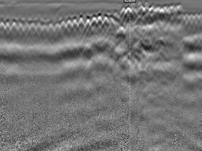
Reinforced Concrete Accessibility Ramp: Three Frequencies, Two 2.5 GHz Antennas and Cross-Polarisation on the Same Profile
Reinforced concrete accessibility ramp surveyed along the same profile with three configurations: dual-frequency UtilityScan DF at 300/800 M…
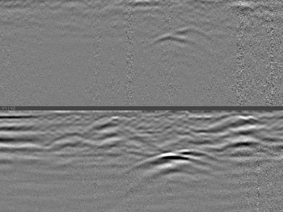
Buried Utilities Beneath a Reinforced Concrete Slab: Detection Through Dense Reinforcement
A 4.50 m profile recorded with a GSSI UtilityScan DF dual-frequency 300/800 MHz antenna, on a reinforced concrete slab, perpendicular to the…
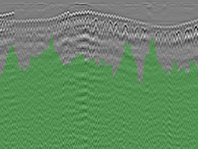
GPR Survey of a Car Park Raft Slab Showing Multiple Defects and Forms of Distress
Profile recorded on the raft slab of a car park showing multiple forms of distress, with a GSSI NX15 antenna at 1.5 GHz. One file. Two phen…
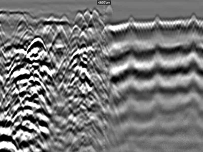
Industrial Slab GPR Survey: Heterogeneous Reinforcement and Subgrade, Inputs for Bearing Capacity Assessment
Profile recorded on a factory floor with a GSSI UtilityScan DF dual-frequency 300/800 MHz antenna, ahead of new works. No records exist, no …
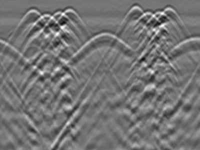
Circular Reinforced Concrete Column : Perimeter Scan and Rebar Repositioning in Section View
Circular reinforced concrete column, 20 cm radius, surveyed by horizontal scanning around its full perimeter with a GSSI FLEX NX dual-channe…
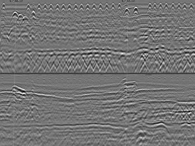
Reinforced Concrete Beam: Continuous Longitudinal GPR Survey with Markers at Two Columns
Reinforced concrete beam, 35 cm thick, surveyed continuously over more than 9 metres with a GSSI FLEX NX antenna. Two user markers were plac…
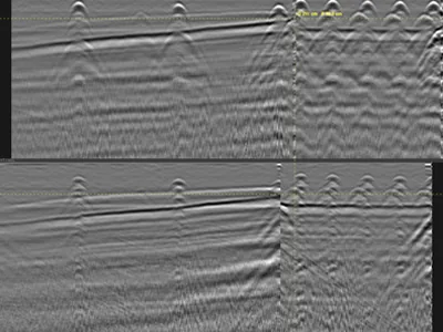
T-Shaped Retaining Wall: Variable Thickness from a Vertical then Horizontal GPR Profile
T-shaped retaining wall surveyed with a GSSI FLEX NX antenna. A single profile, run first vertically up the stem, then horizontally, without…
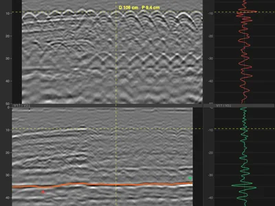
Reinforced Concrete Column — Cross-Polarisation to Image the Far Face and Calibrate Permittivity
Reinforced concrete column surveyed on all four faces, labelled A, B, C and D, by vertical scanning from bottom to top along the centre line…
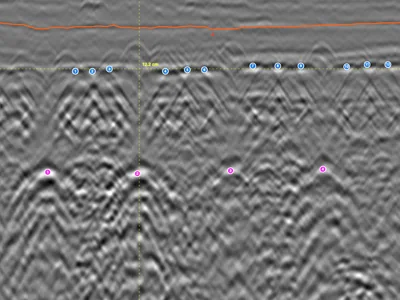
Beam-and-Block Floor — Cross-Polarisation on Inline and Cross-Line Channels
Radargram recorded on a beam-and-block floor with a GSSI FLEX NX stepped-frequency antenna, dual channel: one antenna oriented inline, the o…
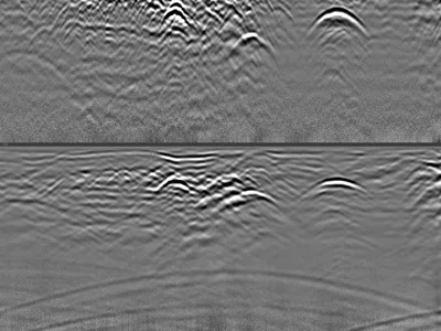
Multiple Utilities and Airwave — Distinguishing Surface Reflections from Buried Targets
Utility survey acquired with a GSSI UtilityScan DF dual-frequency antenna, showing several buried utilities together with a clear airwave si…
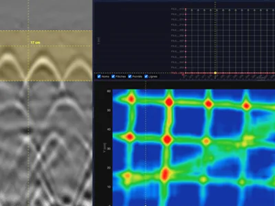
3D Grid on Reinforced Concrete — Rebar Mesh and Diagonal Electrical Cable
3D grid acquired on a reinforced concrete slab with a GSSI StructureScan XT 2.7 GHz antenna: 38 profiles over a 1.2 × 0.6 m area. The horizo…
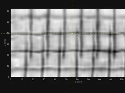
3D Grid on Reinforced Concrete — Welded Mesh Overlap for Rebar Picking
3D grid acquired on a reinforced concrete slab with a GSSI NX25 stepped-frequency antenna, over a 1.2 × 0.6 m area. The slab contains two la…
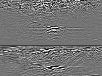
Confirmed Karst Cavities in Limestone — 300 MHz GPR Profiles to 4 m Depth
Raw GPR profiles acquired over limestone containing confirmed karst cavities, using a GSSI UtilityScan DF dual-frequency antenna. The 300 MH…
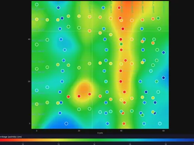
3D Grid on Densely Reinforced Concrete — Rebar Picking and C-Scan Tuning
3D grid acquired on a densely reinforced concrete structure with a GSSI StructureScan XT 2.7 GHz antenna, over a 60 × 60 cm area. The high b…
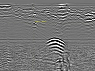
Unrecorded Utility Crossing Under a Street — Parallel GPR Profiles at 350 MHz
Utility survey on a street, acquired with a GSSI UtilityScan 350 MHz HyperStacking antenna: 9 parallel profiles spaced 1 m apart, crossing t…
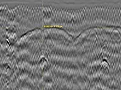
Masonry Vaults in a Historic Monument - Ground penetrating radar - 2 profiles
GPR survey inside a historic monument, acquired with a GSSI UtilityScan DF dual-frequency antenna to locate masonry vaults and characterise …
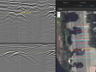
Georeferenced Multi-Utility Mapping - 30 RTK GPR Profiles at 300/800 MHz
Multi-utility GPR survey acquired for cartographic updating ahead of planned works, with a GSSI UtilityScan DF dual-frequency antenna. 30 pr…
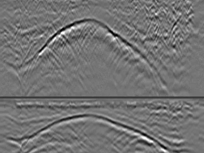
Rib Vault GPR Survey from Above — Backfill Thickness and Structural Geometry
GPR profiles acquired from above a rib vault in a cathedral, with a GSSI UtilityScan DF dual-frequency antenna. Three profiles crossing the …
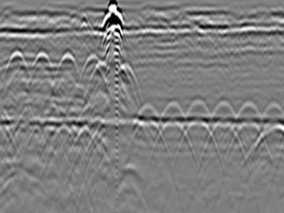
Reinforced Concrete Slab with Expansion Joint
GPR dataset containing 7 files collected on a reinforced concrete slab using a GSSI FLEX NX structure-scanning radar. The data clearly show …
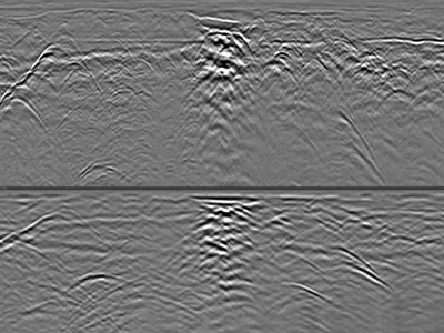
Utilities & Interfaces in Favorable Soil with Deep GPR Penetration
GPR dataset containing 1 file collected with a GSSI UtilityScan DF dual-frequency 300/800 MHz ground penetrating radar in highly favorable s…
GSSI: the world reference in GPR
Founded in 1970, GSSI pioneered commercial Ground Penetrating Radar and remains the global market leader. Its systems cover the full application spectrum: concrete inspection, utility detection, geophysics, road assessment, and archaeology. The DZT data format used by all GSSI systems has become the most widely supported GPR format across processing software, open-source libraries, and research tools.
The current concrete range: FLEX NX, NX25, NX15
GSSI's current concrete inspection range delivers high-resolution imaging for structural diagnostics. The FLEX NX (2.5 GHz) offers versatile high-frequency scanning; the NX25 (2.5 GHz) targets detailed shallow inspection of slabs and walls; the NX15 (1.5 GHz) trades some resolution for deeper penetration in thick structures. Several GPRbase datasets were acquired with these antennas — ideal reference material for owners and prospective buyers.
Utility detection and geophysical systems
Beyond concrete, GSSI systems cover utility mapping and subsurface geophysics with antennas from 100 MHz to 900 MHz. Datasets on GPRbase acquired with utility detection systems (including legacy dual-frequency equipment) demonstrate real multi-utility corridors, variable soil conditions, and deep penetration cases — documented with the exact equipment used as factual acquisition metadata.
MDS: exclusive GSSI partner in France for 35 years
MDS (Le Matériel de Sondage) has been the exclusive GSSI distributor for the French market for 35 years — providing equipment, training, and technical support to the French GPR community. GPRbase and the free GPRviewer software are MDS initiatives to open GPR data and tools to everyone: students, researchers, engineers, and operators worldwide.
The DZT format ecosystem
All GSSI systems record in the DZT format: raw binary radar traces with a documented header containing acquisition parameters. DZT files open in the free GPRviewer, in Geolitix for 2D and 3D processing, and in the open-source libraries readgssi, GPRPy and RGPR. This mature ecosystem makes GSSI data the most accessible starting point for learning GPR data processing.
Download free GSSI sample data
Every dataset below was acquired with GSSI equipment and contains raw DZT files, free under CC BY-NC-SA 4.0. Use them to benchmark your own acquisitions, evaluate antenna performance across applications, develop and test DZT-compatible software, or train operators on realistic data before field deployment.
Frequently asked questions — GSSI data
Are all GPRbase datasets acquired with GSSI equipment?
The vast majority are, reflecting the GSSI expertise of MDS and its network. Each dataset page documents the exact equipment; the manufacturer is specified in the metadata.
Which GSSI antennas are represented in the datasets?
The collection spans the current concrete range (FLEX NX, NX25, NX15) and other GSSI systems across the frequency spectrum, including legacy utility detection equipment documented as acquisition metadata.
Can I compare my GSSI acquisitions with these datasets?
Yes — that is a key use case. Matching antenna and application, you can benchmark signal quality, penetration depth, and target signatures against documented reference acquisitions.
I am considering buying a GSSI system. Can this data help me evaluate?
Absolutely. Download datasets acquired with the antenna you are considering, open them in the free GPRviewer, and see exactly what the system produces in real conditions. For French market inquiries, MDS (mds-paris.com) provides demonstrations and advice.
Does GSSI endorse GPRbase?
GPRbase is an independent initiative published by MDS, the exclusive GSSI partner for the French market for 35 years. It is not a GSSI corporate service; equipment names are used factually to document the acquisitions.
Acquired data with your GSSI system?
Share your DZT files with the community. Contributions from GSSI operators worldwide make this collection richer for everyone.
Submit your data